PhD Degree Awarded to Mr. Hafez Ali Mohammed Al-Yaari in Geography and Geoinformatics
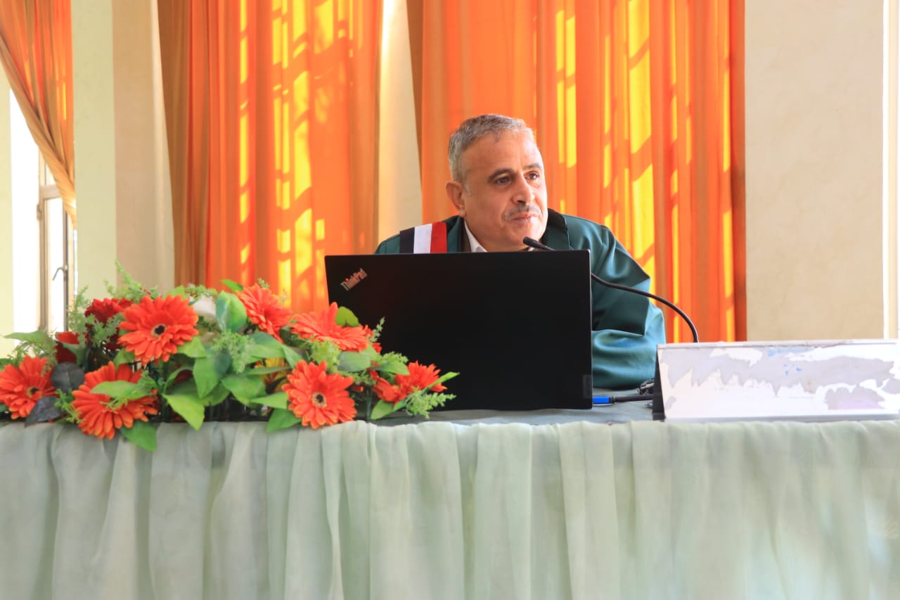
Mr. Hafez Ali Mohammed Al-Yaari was awarded a PhD degree in Geography and Geoinformatics for his dissertation titled: Spatial Analysis of Water Erosion in Sana’a Basin Using Geographic Information Systems and Remote Sensing Techniques, which was submitted to the Department of Geography and Geoinformatics, Faculty of Arts and Humanities – Sana’a University. The dissertation defense was held on Sunday, 27 Sha’ban 1447 Hijri, corresponding to February 15, 2026.
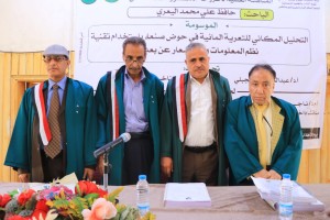
The PhD Viva-Voce Committee, which was formed based on a resolution issued by the Graduate Studies and Scientific Research Council, consisted of the following:
| # | Committee Members | Designation | Position |
| 1 | Associate Prof. Naji Ali Allahbi | Internal Examiner | Chair |
| 2 | Associate Prof. Abdulmalik Ali Al-Jabali | Main Supervisor | Member |
| 3 | Associate Prof. Mohammed Mansour Al-Mulaiki | External Examiner | Member |
The dissertation aimed to:
- Conduct a precise spatial analysis identifying the distribution of water erosion intensity across the Sana’a Basin and its sub-basins.
- Quantitatively estimate annual soil loss and qualitatively classify areas according to erosion severity to identify critical “hotspots” requiring urgent intervention.
- Apply the Erosion Potential Model (EPM) in a semi-arid mountainous environment, evaluate its effectiveness, and verify its accuracy by comparing model results with actual field measurements from dam reservoirs.
The study yielded several key findings summarized as follows:
- The average erosion rate in the Sana’a Basin reaches 464 cubic meters per square kilometer per year, placing it overall within the moderate-risk category. However, significant spatial variation among sub-basins necessitates targeted and differentiated management strategies.
- The highest erosion rates are concentrated in the southern and southeastern parts of the basin, due to a combination of natural factors: the dominance of less resistant volcanic rocks and higher rainfall amounts in those areas.
- When integrated with GIS and remote sensing techniques, the EPM model demonstrated high efficiency in assessing erosion risks in complex mountainous Its reliability was confirmed by strong agreement between model estimates and field measurements.
- Sedimentation poses a serious threat to water infrastructure, significantly reducing dam lifespan and storage capacity. Its impacts also extend to road damage and burial of agricultural lands, requiring urgent and well-planned intervention.
In light of these findings, the researcher recommended the following:
- Risk-based management: Focus erosion control efforts and resources on the high-risk southern and southeastern sub-basins through integrated soil and water conservation measures.
- Revegetation: Implement large-scale planting of native trees and shrubs in mountainous and steep-slope areas to enhance soil cohesion and reduce surface runoff velocity.
- Sustainable agricultural practices: Encourage and support farmers in adopting conservation techniques such as contour plowing and maintaining traditional agricultural terraces, which have proven effective for centuries.
- Monitoring and follow-up: Adopt GIS and remote sensing as permanent planning tools to periodically monitor land-use changes and erosion intensity, enabling proactive planning and strategy adjustment.
- Dam maintenance: Develop periodic technical and engineering plans for sediment management in dam reservoirs, including mechanical dredging or constructing sediment traps in feeder valleys to ensure sustainability and extend the operational lifespan of these vital facilities.
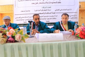
The dissertation defense was attended by a number of academics, researchers, and specialists, students, colleagues, and the researcher’s family.
")

")