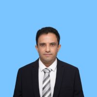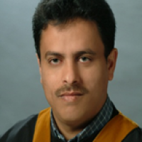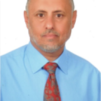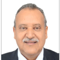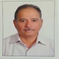
Tarek Hashim Al-Hibshi
Sample CV for faculty members at Sana’a University (English)
Personal Information:
Name : Tarek Hashim Al-Hibshi
E-mail: thibshi@yahoo.com
E-mail: thibshi@gmail.com¨ Current location: Yemen – Sana’a
¨ Nationality: Yemeni
¨ Languages: Arabic, English & French.
Summary: (A brief profile Summary of the faculty member at least 3 lines)
Education:: PhD
Experience:
- Teaching theoretical and practical GIS for Under graduate students at Faculty of Computer & Information Technology, Sana’a University – Yemen.
- Teaching Post graduate students (Msc & Diploma) at Water & Environment Center (WEC), Sana’a University.
- Teaching under- and Post graduate students Faculty of Petroleum and Natural Resources, Sana’a University.
- Manager at several private companies in the field of IT and Software development.
- Developing Early Warning System and Crop monitoring software.
Conferences and Workshops:
2021 – Water and Sanitation Workshop (Geographical Information Systems Applications) WEC.
2019 – A workshop at Meteorological Authority on irrigation and climate change detection organized by Meteorological Authority 7 FAO, Sana’a – Yemen.
2018 – A workshop at Ministry of Water & Environment focuses on using GIS as platform of geodatabase in irrigation, water and agriculture sectors.
2017 – The 3rd and 4th Remote Sensing Platform for irrigation Workshops. A workshop held in WEC – Sana’a, with the water and agriculture sectors. The workshop focused on the WaPOR FAO applications in the field of water and agriculture.
2016 – The 2nd Remote Sensing Platform for irrigation Workshop. A workshop held in WEC – Sana’a, with the water and agriculture sectors. Also, the workshop included other sectors like FAO, Health and Meteorology. The workshop representing the progress in RS activities.
2014 – The 1st Remote Sensing Platform for irrigation Workshop – WEC, Sana’a. A workshop representing the cooperation between the center and the Dutch side on using RS/GIS techniques in the field of water/agriculture sectors.
2014 – Lecturing at the RS/GIS Workshop at World Bank – Sana’a. The Presentation entitle ” Using RS/GIS techniques in water sector & Developing Databank – WEC”.
2006 – Lecturing at the GIS conference – Ministry of Population & Health, Sana’a –Yemen.
2003 – Participate GIS & RS workshop – Ministry of Telecommunications, Sana’a –Yemen.
1997 – Participate an ESRI GIS conference – Amman, –Jordan.
1996 – Lecturing at the Geological association conference – Sana’a –Yemen.
Research and scientific papers:
2018 – Analyzing Seismic zones at Sana’a Basin using GIS system.
1992 –The research studied the geochemistry and the petrology of the lower
part of the Tertiary volcanics of Utma area, Yemen.
UNDER PROCESS:
Mapping basement rocks of west Hajjah area using GIS/RS techniques.
– Determining groundwater zones at Sana’a Basin using GIS and RS
techniques.–
Determining the plant cover scale and its vulnerability to climate
change at Sana’a Basin.
– Mapping clay minerals within the Tertiary volcanic rocks of Sana’a
area.
Supervising:
2021 – Monitoring and Mapping vegetation-soil cover by using Image
Processing and GIS Techniques, Yemen.
2020 – Evaluation of WASH at Sana’a University as per IWRM Perspective.
2019 – Detecting and mapping mineralization, rocks, and alterations within the Tertiary volcanic rocks at Sana’a Basing using GIS/RS techniques.
