PhD Degree Awarded to Ms. Ahlam Ali Al-Sanhani in Geography and Geoinformatics
- Categories Letters and Promotions - Graduate Studies, news, Regulations - Postgraduate Studies
- Date December 22, 2025
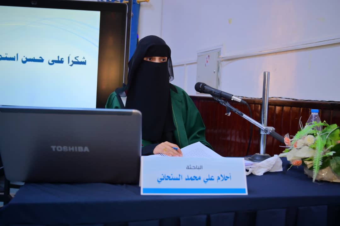
Ms. Ahlam Ali Mohammed Al-Sanhani was awarded a PhD degree in Geography and Geoinformatics – Water Resources for her dissertation titled: Spatial Modelling for Rainwater Harvesting in Amran Basin – Yemen, which was submitted to the Department of Geography and Geoinformatics, Faculty of Arts and Humanities – Sana’a University. The dissertation defense was held on Tuesday, November 18, 2025.
The PhD Viva-Voce Committee, which was formed based on a resolution issued by the Graduate Studies and Scientific Research Council, consisted of the following:
# Committee Members Designation Position
1 Prof. Mohammed Abdulaziz Saad Yasar Internal Examiner Chair
2 Prof. Mohammed Ahmed Hamoud Mayas Main Supervisor Member
3 Assoc. Prof. Abdulmajid Ahmed Yahya Madaghesh External Examiner Member
The study aimed to:
Develop a spatial suitability model for identifying optimal rainwater-harvesting sites based on a set of natural and human criteria.
Produce a spatial suitability map for water-harvesting structures according to weighted importance levels, using the Analytical Hierarchy Process (AHP) within a multi-criteria decision support system in a GIS environment.
The study yielded a number of key findings summarized as follows:
Amran Basin lies within Yemen’s western highlands, extending from Bani Matar District in the south to Al-Mahtama District in the north and east, with an estimated area of 2,110 km². It is a structural depression surrounded by steep highlands.
Three levels of spatial suitability for rainwater-harvesting structures were identified based on 11 major criteria. The most influential criteria in determining optimal sites were: rainfall intensity, slope degree, land cover, slope aspect, geological formations, and surface runoff volume.
The number of sites classified as low, medium, and high suitability were 91 sites, 895 sites, and 58 sites, respectively.
The main watercourse contained the highest number of suitable sites (25 sites), followed by the western and eastern Al-Bawn sub-basins with 11 and 8 sites respectively.
GIS and remote sensing techniques were found to be important in data preparation, processing, analysis, and visualization, given their critical role in supporting future planning for water-resource management projects, particularly rainwater-harvesting initiatives that help combat desertification and reduce drought impacts in Amran Basin.
In light of these findings, the researcher recommended:
Encouraging and supporting applied research in the field of water resources through the provision of necessary data.
Maintaining existing climate-monitoring stations in Amran Basin and establishing hydro-meteorological monitoring stations in secondary basins to record rainfall and predict surface runoff for improved water-resource management.
Supporting and encouraging residents of Amran Basin who wish to construct rainwater-harvesting facilities.
Maintaining and rehabilitating existing rainwater-harvesting structures in the basin to ensure their continued effectiveness.
Utilizing the potential sites identified in the study when determining the types of water-harvesting facilities to be developed by local authorities.
The dissertation defense was attended by a number of academics, researchers, and specialists, students, colleagues, and the researcher’s family.


Discover more from Sana'a University
Subscribe to get the latest posts sent to your email.
Previous post
PhD Degree Awarded to Ms. Ahlam Ali Al-Sanhani in Geography and Geoinformatics
Next post


